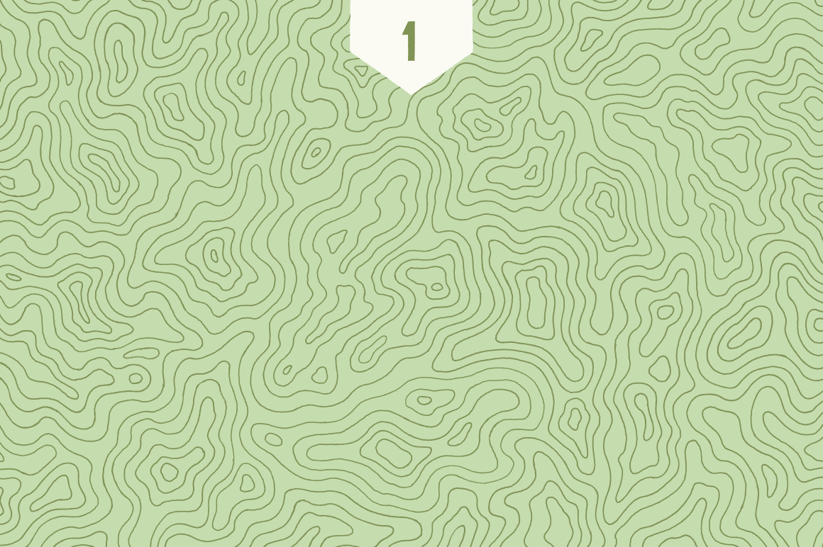
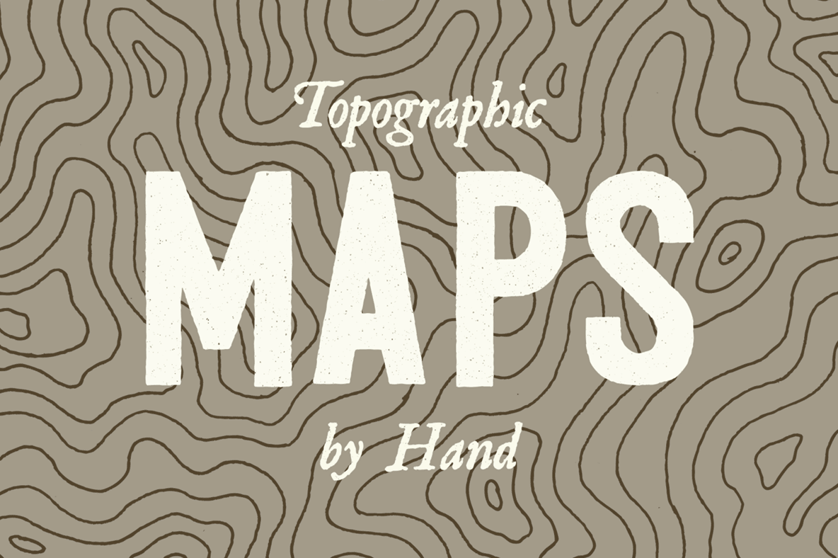
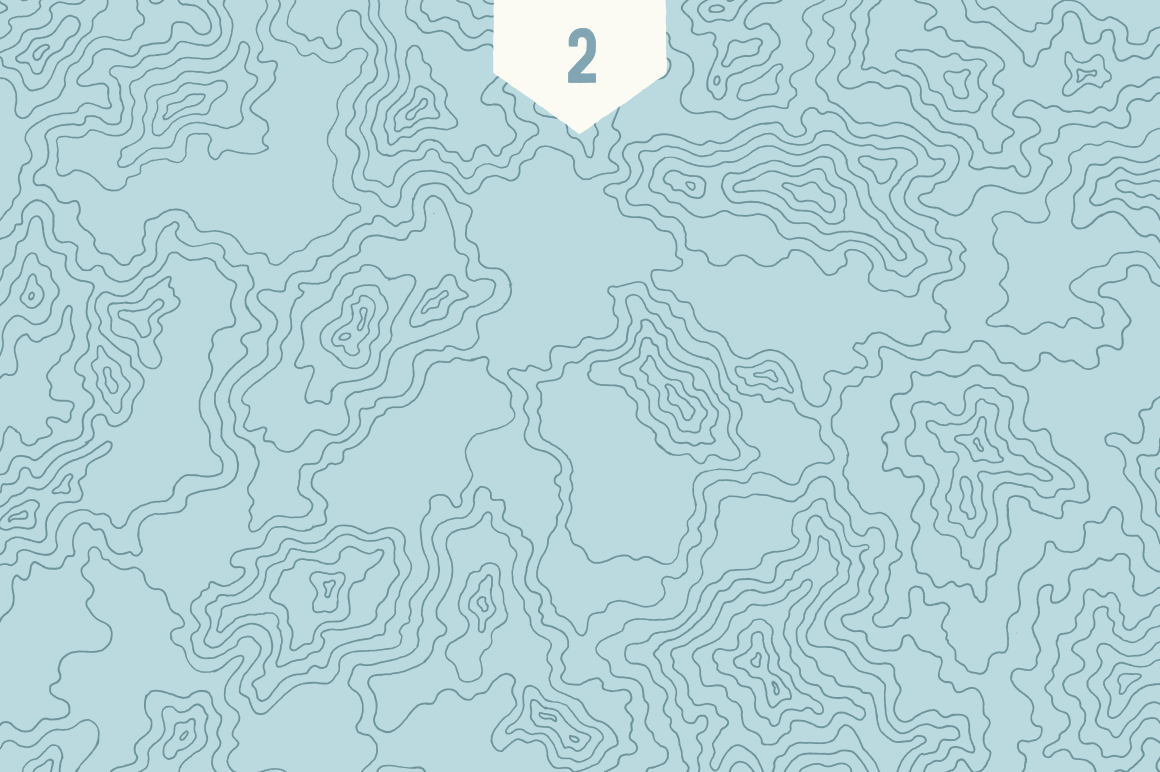
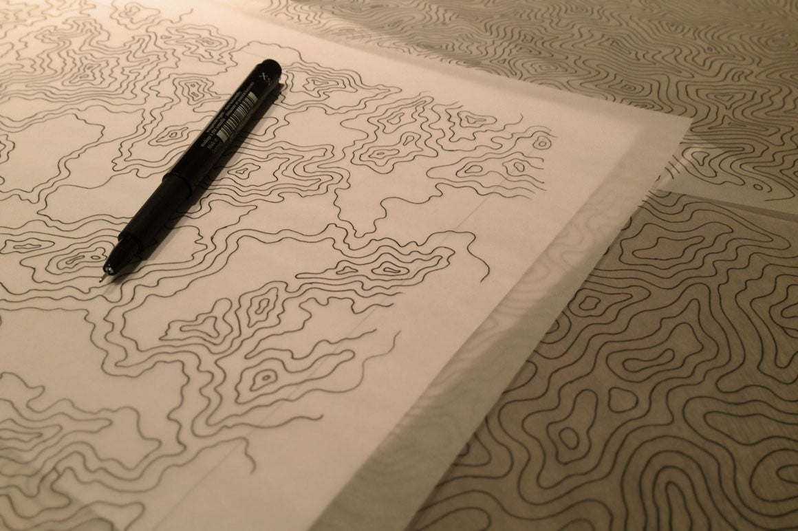
How 'bout some topographic maps, expedition style? This map collection was painstakingly freehand-illustrated line by line, curve by curve. No software, no filters, just 12 hours of good old fashioned pen on paper illustration. The authentic hand-crafted look is evident with subtle imperfections that can only be found on with simple fashioned craft. The set can be used as a highly visible cartographic map or take a back seat as a more subtle background texture depending on the project needs.
Included Illustrations
3 individual hand-illustrated maps
Included File Format(s)
Vector EPS (Adobe CS1+)
Transparent PNG
Transparency
Isolated/cutout lines with transparent backgrounds